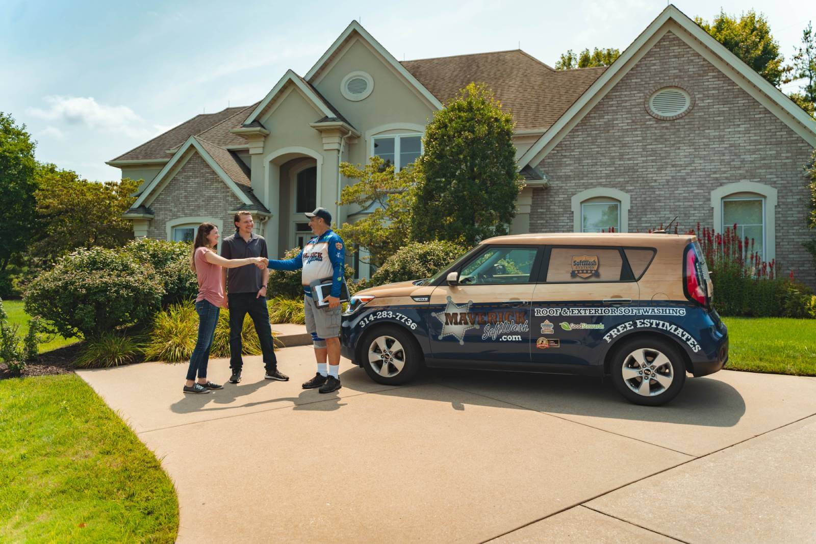
Maverick SoftWash
We strive to be your #1 choice for exterior cleaning.
Your home is not just an investment; it’s a place where you and your family can enjoy your time of rest and relaxation. Having a clean and healthy home is important, especially during those moments when you have family get-togethers or friends over, and it’s as important outside of the home as it is inside it. If you’ve been looking for a solution to your exterior cleaning woes, look no further than our team at Maverick SoftWash. We proudly serve the St. Louis, Missouri community by providing soft washing and pressure washing to residential and commercial clients.
Fast Free Quote
"*" indicates required fields
Our Services
You’re likely familiar with pressure washing, but you may not know anything about soft washing. Soft washing is a cleaning process that has become more popular over the years and is known to eliminate the bacteria that causes staining. Soft washing also does not use high pressure to get dirt off of homes, so you never have to worry about it damaging your delicate surfaces. It uses a combination of soaps, bleach, and water to remove contaminants and ensure
longevity with the cleaning.
Exterior Commercial Cleaning
Make a lasting positive impression on your customers with attentive exterior cleaning.
Soft Washing
Make soft washing your go-to method for removing contaminants from your surfaces.
Exterior House Cleaning
Schedule our exterior house cleaning services for the ultimate curb appeal.
Why Choose Us?
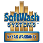
5-Year Warranty
We are so confident in the results soft washing yields that we’re willing to stand behind our cleaning services.
Background-Checked Employees
Our employees are trained, uniformed, and background-checked, so you can put your trust in us.
Community Minded
We proudly serve the community. Our owner is a member of the Chamber of Commerce and has cleaned the local Ronald McDonald House for free.
Contact Us Today